
Maharashtra HSC Board 2024 Geography Question Paper PDF - Check Solutions with Answer Key Pdf (39-J-970)


Content Writer | Updated On - Feb 28, 2025
Maharashtra Board Class 12 2024 Geography Question Paper PDF for Free Download.Conducted by the Maharashtra State Board of Secondary and Higher Secondary Education (MSBSHSE) in March 2024, the Class 12 Geography exam was a 3-hour assessment worth 80 marks. Based on initial student feedback and trending discussions, the Maharashtra Board Class 12 Geography 2024 question paper was rated Moderate in difficulty. Topics such as Human Geography, Physical Geography, and Regional Development were considered Easy to Moderate, while Geographical Information Systems (GIS) and Map-Based Questions were rated Moderate to Difficult.
Maharashtra Board Class 12 Geography Question Paper 2024 with Answer Key (39-J-970)
Candidates can use the link below to download the Maharashtra Board Class 12 Geography 2024 Question Paper PDF.
| Maharashtra HSC Board Geography Question Paper 2024 With Answer Key |  Download Download |
Check Solutions |

Maharashtra Board Class 12 2024 Geography Question Paper with Solutions
View Solution
Question 1(B):
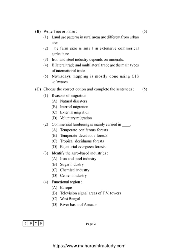
Write True or False:
(1). Land use patterns in rural areas are different from urban areas.
View Solution
(2). The farm size is small in extensive commercial agriculture.
View Solution
(3). Iron and steel industry depends on minerals.
View Solution
(4). Bilateral trade and multilateral trade are the main types of international trade.
View Solution
(5). Nowadays mapping is mostly done using GIS software.
View Solution
Question 1(C):
Choose the correct option and complete the sentences:
(1). Reasons of migration:
View Solution
(2). Commercial lumbering is mainly carried in ____:
View Solution
(3). Identify the agro-based industries:
View Solution
(4). Functional region:
View Solution
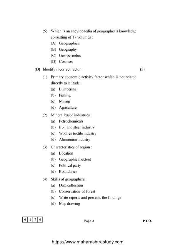
(5). Which is an encyclopedia of geographer's knowledge consisting of 17 volumes:
View Solution
Question 1(D):
Identify the incorrect factor:
(1). Primary economic activity factor which is not related directly to latitude:
View Solution
(2). Mineral based industries:
View Solution
(3). Characteristics of region:
View Solution
(4). Skills of geographers:
View Solution
(5). Branches of physical geography:
View Solution
Question 2:
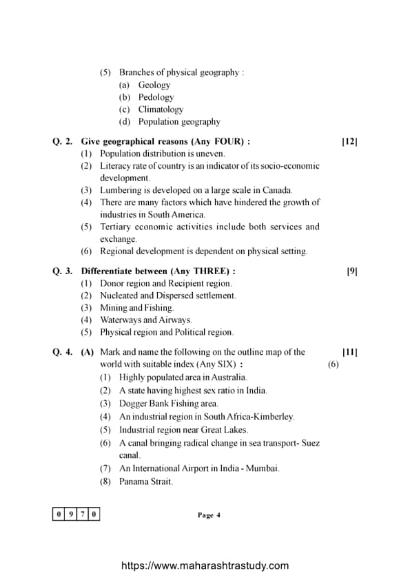
Give geographical reasons
(1). Population distribution is uneven.
View Solution
(2). Literacy rate of country is an indicator of its socio-economic development.
View Solution
(3). Lumbering is developed on a large scale in Canada.
View Solution
(4). There are many factors which have hindered the growth of industries in South America.
View Solution
(5). Tertiary economic activities include both services and exchange.
View Solution
(6). Regional development is dependent on physical setting.
View Solution
Question 3:
Differentiate between
(1). Donor region and Recipient region.
View Solution
(2). Nucleated and Dispersed settlement.
View Solution
(3). Mining and Fishing.
View Solution
(4). Waterways and Airways.
View Solution
(5). Physical region and Political region.
View Solution
Question 4(A):
Mark and name the following on the outline map of the world with suitable index
(1). Highly populated area in Australia.
View Solution
(2). A state having highest sex ratio in India.
View Solution
(3). Dogger Bank Fishing area.
View Solution
(4). An industrial region in South Africa - Kimberley.
View Solution
(5). Industrial region near Great Lakes.
View Solution
(6). A canal bringing radical change in sea transport - Suez Canal.
View Solution
Explanation: The Suez Canal, located in Egypt, is a key waterway that connects the Mediterranean Sea to the Red Sea. It significantly reduces travel time for shipping between Europe and Asia by providing a direct sea route, thus revolutionizing global trade and transport. Quick Tip: The Suez Canal is one of the most important artificial waterways, significantly reducing the time needed for ships traveling between Europe and Asia.
(7). An International Airport in India - Mumbai.
View Solution
Explanation: Mumbai, previously called Bombay, is the location of Chhatrapati Shivaji Maharaj International Airport. It ranks as one of the busiest airports in India and serves as a major international entry point, linking India to many countries worldwide. Quick Tip: Mumbai’s international airport plays a central role in connecting India to the world for both domestic and international flights.
(8). Panama Strait.
View Solution
Question 4(B):
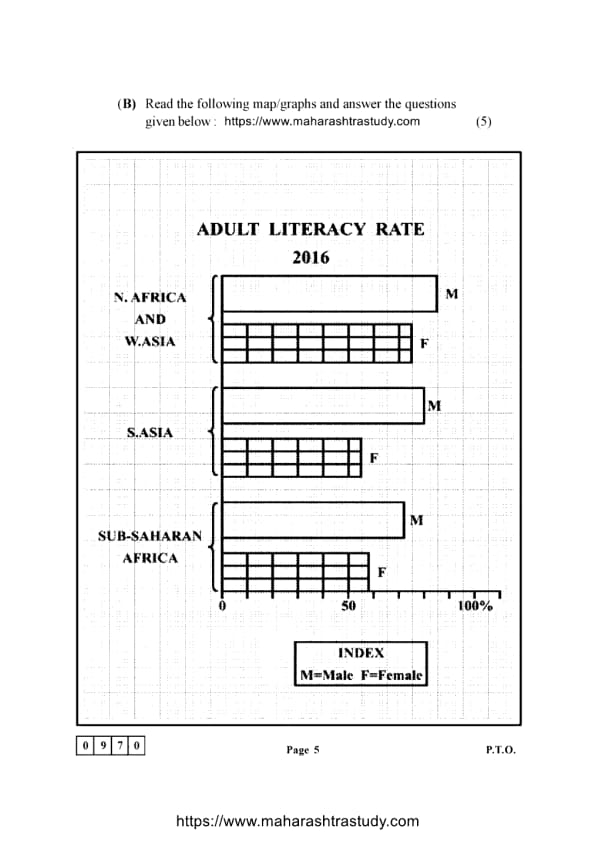
Read the following map/graphs and answer the questions given below:
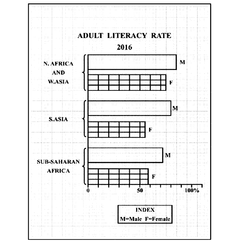
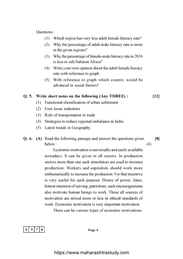
(1). Which region has very less adult female literacy rate?
View Solution
(2). Why the percentage of adult male literacy rate is more in the given regions?
View Solution
(3). Why the percentage of female-male literacy rate in 2016 is less in sub-Saharan Africa?
View Solution
(4). Write your own opinion about the adult female literacy rate with reference to graph.
View Solution
(5). With reference to the graph, which country would be advanced in social factors?
View Solution
Question 5:
Write short notes on the following
(1). Functional classification of urban settlement
View Solution
(2). Foot loose industries
View Solution
(3). Role of transportation in trade
View Solution
Explanation: Transportation is vital for trade, as it enables the efficient movement of goods and services between producers and consumers. A well-functioning transportation network lowers transportation costs, expands market reach, and facilitates trade across regions and countries. The development of infrastructures like roads, railways, ports, and airports ensures the seamless movement of goods, fostering economic growth and supporting globalization. Quick Tip: The success of trade and economic development is closely tied to the effectiveness of transportation systems. Enhancing infrastructure can reduce trade costs and improve access to international markets.
(4). Strategies to reduce regional imbalance in India
View Solution
(5). Latest trends in Geography
View Solution
Question 6(A):
Economic motivation is universally and easily available nowadays. It can be given in all sectors. In production sectors, more than one such stimulator is used to increase production.
Workers and capitalists should work more enthusiastically to increase the production. For
that incentive is very useful for such purpose. Desire of power, fame, honest intention of
serving, patriotism, such encouragements also motivate human beings to work. These all
sources of motivation are mixed more or less in ethical standards of work. Economic
motivation is very important motivation. There can be various types of economic
motivations.
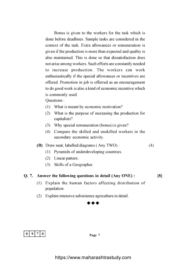
Bonus is given to the workers for the task which is done before deadlines. Sample tasks are
considered in the context of the task. Extra allowances or remuneration is given if the
production is more than expected and quality is also maintained. This is done so that
dissatisfaction does not arise among workers. Such efforts are constantly needed to increase
production. The workers can work enthusiastically if the special allowances or incentives are
offered. Promotion in job is offered as an encouragement to do good work is also a kind of
economic incentive which is commonly used.
(1). What is meant by economic motivation?
View Solution
(2). What is the purpose of increasing the production for capitalists?
View Solution
(3). Why is special remuneration (bonus) given?
View Solution
(4). Compare the skilled and unskilled workers in secondary economic activity.
View Solution
(1). Pyramids of underdeveloping countries.
View Solution
(2). Linear pattern.
View Solution
(3). Skills of a Geographer.
View Solution
Question 7:
Answer the following questions in detail
(1). Explain the human factors affecting distribution of population.
View Solution
(2). Explain intensive subsistence agriculture in detail.
View Solution
*The article might have information for the previous academic years, please refer the official website of the exam.